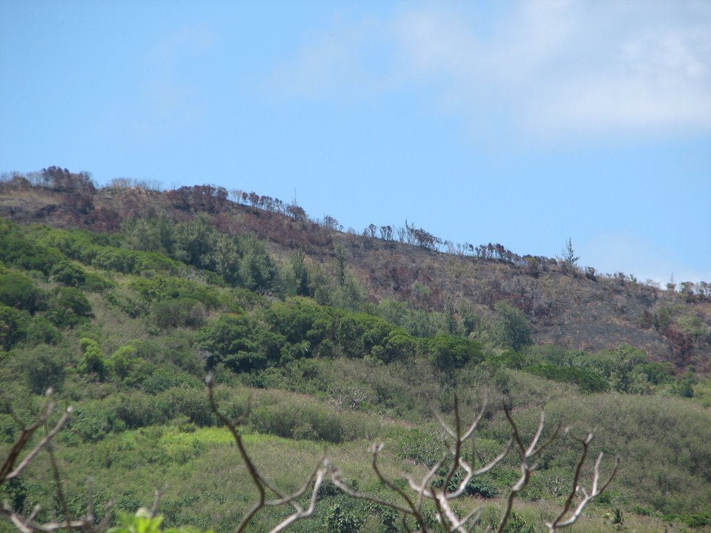
 This photo was taken from the South side of the burned area. Clicking on the photo will enlarge it. You can see how the trees that run along the highest ridge are completely charred.
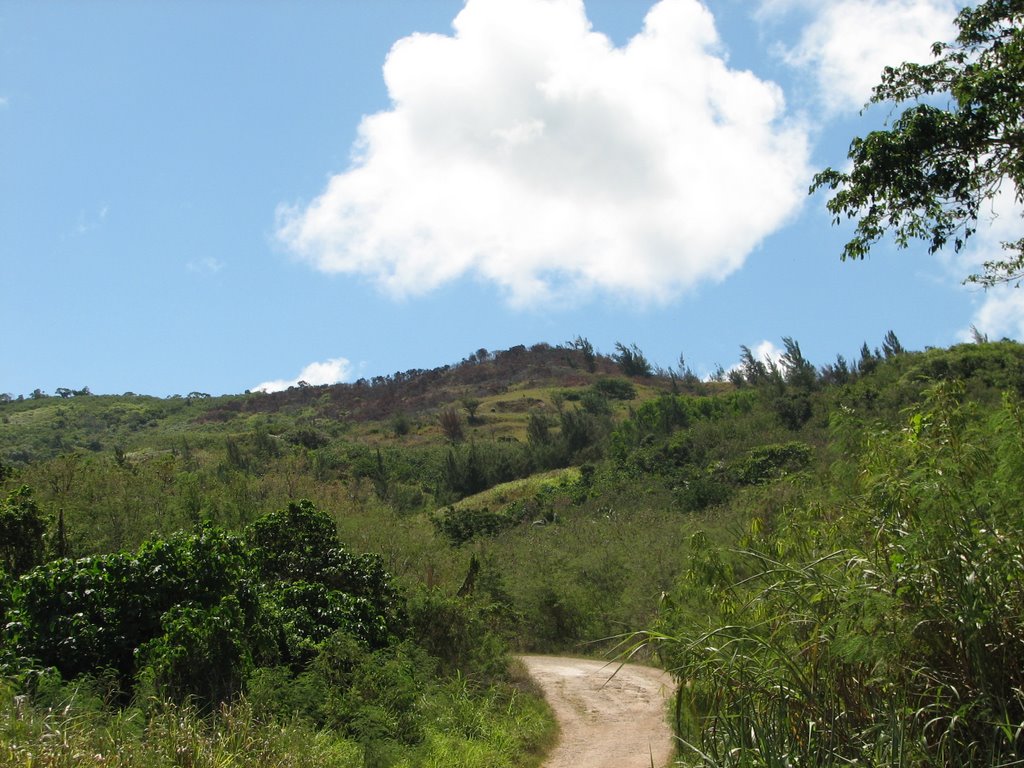 This photo was taken from the Lao Lao Dive Site, which is just north of the burned area. Clicking on the Photo will enlarge it. You can see that the highest peak is charred and that the burning extends to the left. We think that the burning extends onto the other side of the peak, too.
I am going up there tomorrow with Jeremy Shaw from DEQ to get a closer look. I'll post some pictures either tomorrow or in the next couple of days.
I was down at Lao Lao today because I was helping Jeremy inspect the stream beds in the Lao Lao watershed for suitable water quality sample sites.
Nine streams drain the Lao Lao watershed. Some of the streams are more accessible than others, so we need to find locations that will be safe and easy for volunteers to access.
There is a coral aggregate road in Lao Lao that runs down from San Vicente, then parallel to the beach, then finally up to Kagman. The nine streams are numbered 1-9 from South to North along this road. With the exception of Stream 1, all of the streams cross this road (Stream 1 runs parallel to the road). We want to sample each of the streams upstream of the road and then downstream of the road. That will give us an idea of which streams are dumping the most sediment into Lao Lao Bay and whether or not the sediment is coming from the road or from further up in the watershed.
Some of the streams drain the revegetation area (the recently burned revegetation area) and some of the streams drain vegetated areas. Streams 1 and 9 probably drain the coral aggregate roads that they parallel. Once we collect all of our data, we'll have an idea of how much sediment would naturally flow into Lao Lao, how much sediment is added to the water when the upland areas are burned and/or non-vegetated, and how much sediment coral aggregate roads add to stormwater.
This information will eventually help guide us towards the Best Management Practices to protect the coral reefs from stormwater runoff.
I took several pictures of the stream beds, but the only ones that came out clear were the ones from Stream 1. So here a few pictures from Stream 1:
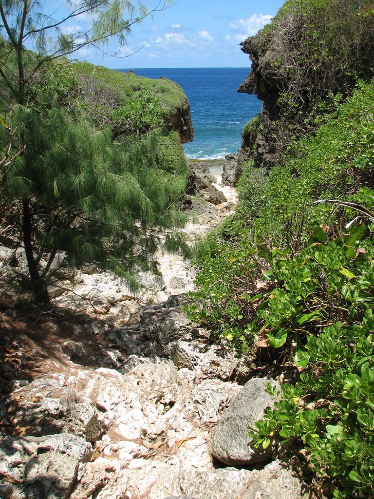 Stream 1 runs parallel to the road as it heads downhill towards the beach. Clicking on the photo will enlarge it. The road makes a left close to the bottom, but the stream continues straight towards the ocean. This picture visualizes rather well how any sediment carried in the stormwater is carried straight into Lao Lao Bay.
 This photo was taken from the edge of the water, looking back up towards the stream bed. Clicking on the photo will enlarge it. It takes a lot of fast moving water to cut a path like that. You can see how the vegetation covers the stream bed just past the small cliffs. The resulting shade makes photography difficult.

No comments:
Post a Comment