Here is a photo of Saipan's watersheds, taken from the Coastal Resources Management website:
 As you can see from the photo, the Lau Lau watershed drains into Lau Lau Bay (also called Magicienne Bay).
The area has a serious problem with sediment runoff, which reduces visibility and promotes the growth of turf algae and macroalgae, which compete with coral growth. I experienced this first hand during my dive last week. The water clears up the further from shore you swim, but close to shore the visibility is very bad. It is almost zero at the point of entry.
Lau Lau Bay is one of the most popular diving sites on Saipan. A recent study by Pieter van Beukering et al estimates that marine ecosystem associated water sport activities on Saipan, including diving and snorkeling, add $5.77 million to the local economy. Improving the water quality at the site would be an important step in ensuring that this source of revenue is sustained.
Here are a few pictures of the shoreline (I do not have an underwater casing for my camera yet, so it will be a little while before I can show you some underwater pictures):
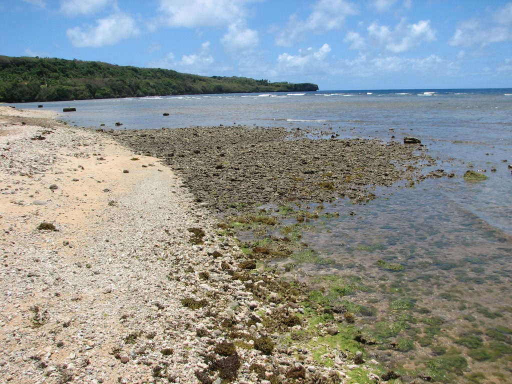 This is the outlet for one of the streams draining the Lau Lau watershed. You can see how the sediment has built up to form a small delta. You can also see some of the algae growing on the rocks. I have been told that during the rainy season, this delta extends much further out into the water.
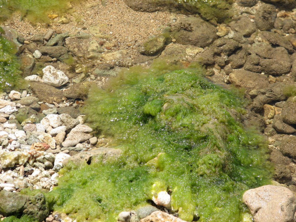 Close up of some algae during low tide. This picture was taken right next to the delta in the previous photo.
It is generally agreed upon that sediment runoff is causing the poor visibility and algae blooms. The Department of Environmental Quality has identified "upland burning and clearing for development, farming, and even hunting over the years" as the major source of "brown runoff." Click HERE for more DEQ information on brown runoff and the Talakhaya watershed in Rota. It is also believed that Gap Gap Road and some of the stream crossings are adding to the sediment load.
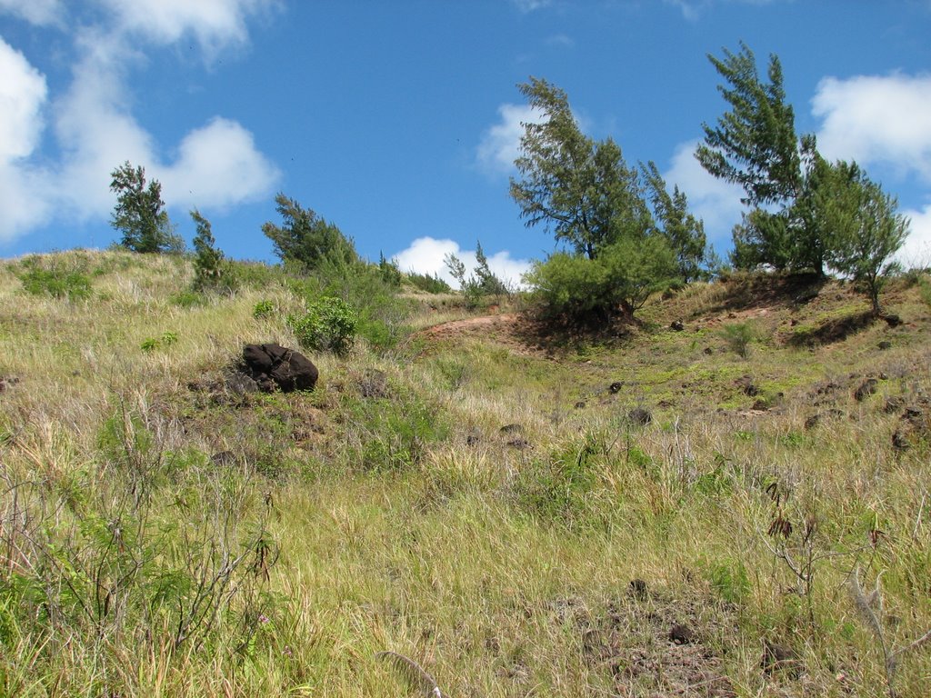
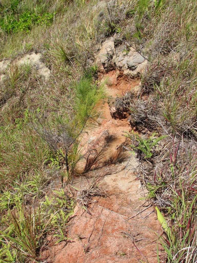
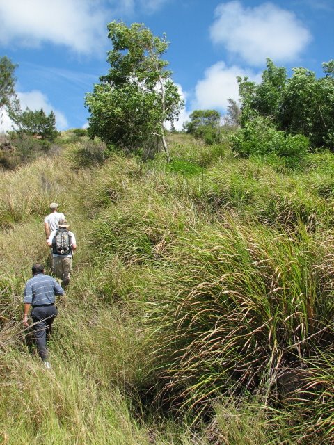
Here is a picture of Gap Gap Road and of some of the upland deforested areas:


It would be great if the solution to this problem were as simple as fixing the road and planting some trees, but as with most things in life, things are a bit more complicated than that.
First of all, most of the top soil has already washed into the bay. Some work has already been done to determine what types of trees will grow in the remaining substrate, but only a field test will let us know for sure what we can grow there.
Also, if we went ahead and simply planted more trees, there is no guarantee that they wouldn't be burned the following dry season. It is believed that local hunters burn the area to, initially, flush deer during the hunt, and secondly, to promote the growth of new saplings, which attract grazing deer later in the season.
Since they play such an important part in the health of Saipan's coral reefs, it will be important to involve hunters in any decision making activities. The questions that need to be asked are how can we stop the erosion without infringing on the hunters right to hunt and are there more sustainable ways to hunt and to attract deer?
The answers probably lie with the fact that most hunters on this island are also fishermen. The health of the reefs, which are directly affected by their hunting activities, should be as important to them as it is to the dive shop owners, who make a living bringing tourists to dive in Lau Lau. As for the dive shop owners, they should view any efforts to improve the water quality in Lau Lau as an investment in their business. Since there are non-profit groups involved in these activities, any investment of time or resources that they make is a tax-deductable business expense. It is a win-win situation for them.
We will also have to work with the understanding that most of the area is privately owned. We will have to work with the land owners in order to determine what they can and are willing to do and what they will allow us to do.
Well, I guess this is a start. We are still in the process of figuring out the types of activities that would be best suited for volunteers and I'm still trying to meet everybody on this island who is involved in coral reef conservation and development.
I'll keep you updated as developments happen, but in the meantime, please bookmark this url and/or add a link to us from your blog or personal website.
As I mentioned at the start of this post, a blog is not the best place to give a dissertation on the interaction of hydrology, biology, ecology, and anthropogenic disturbances in Lau Lau Bay. I think that a traditional format website (or a research paper!) would be a better outlet for such information, and I promise that such a website is in the works. In the meantime, several other groups and government agencies have published information on Lau Lau Bay.
Here are a few of them:
DEQ Info
DEQ Volunteer Reef Flat Monitoring in Lau Lau
EPA NPS Pollution Success Stories
Shorediving.com Review of Lau Lau
Great Shot of the Bay from CNMI Guide

No comments:
Post a Comment